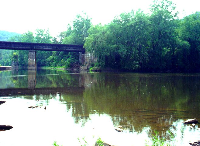


 Mile: 164.82, 12-Aug-98
Potomac Forks. To the left is the South Branch of the Potomac; to
the right, the North Branch. If the North Branch (shorter than
the South Branch, but which carries more water) had not been
accepted as the true source of the Potomac, all the area between
the two rivers would be part of Maryland, not West Virginia. The
canal company originally planned to build Dam. No. 7 here, but
discarded the idea in favor of a steam pump.


 Mile: 164.82, 12-Aug-98